About me

Hi! I'm Luke. I architect and build ML systems that solve complex geospatial challenges at scale. With over a decade of experience spanning both startup and research environments, I've led the development of AI solutions for environmental monitoring, real estate analytics, and land management. I specialize in designing robust ML pipelines and spatially-aware data systems that transform raw geospatial data into actionable insights.

Resume

Where I've worked

My career has evolved from academic research to building production ML systems at scale. At Vibrant Planet, I lead several ML development efforts for a cutting-edge geospatial platform, designing and deploying pipelines that process massive datasets for critical decision-making. Previously, as Head of Data Science at Iggy, I led the development of novel geospatial data products for partners in real estate and private equity. I've consistently worked at the intersection of machine learning, spatial data, and scalable systems.

Learn more about Vibrant Planet

Skills

I specialize in building end-to-end ML systems that handle complex geospatial data at scale, with particular expertise in computer vision, remote sensing, and distributed computing.

ML/AI

PyTorch, ONNX, Kubeflow, Ray

Cloud & Infrastructure

AWS, GCP, Azure, Airflow

Spatial Computing

GDAL/OGR, PostGIS, Earth Engine

Languages

Python, R, SQL

A few highlights from some of past and ongoing work

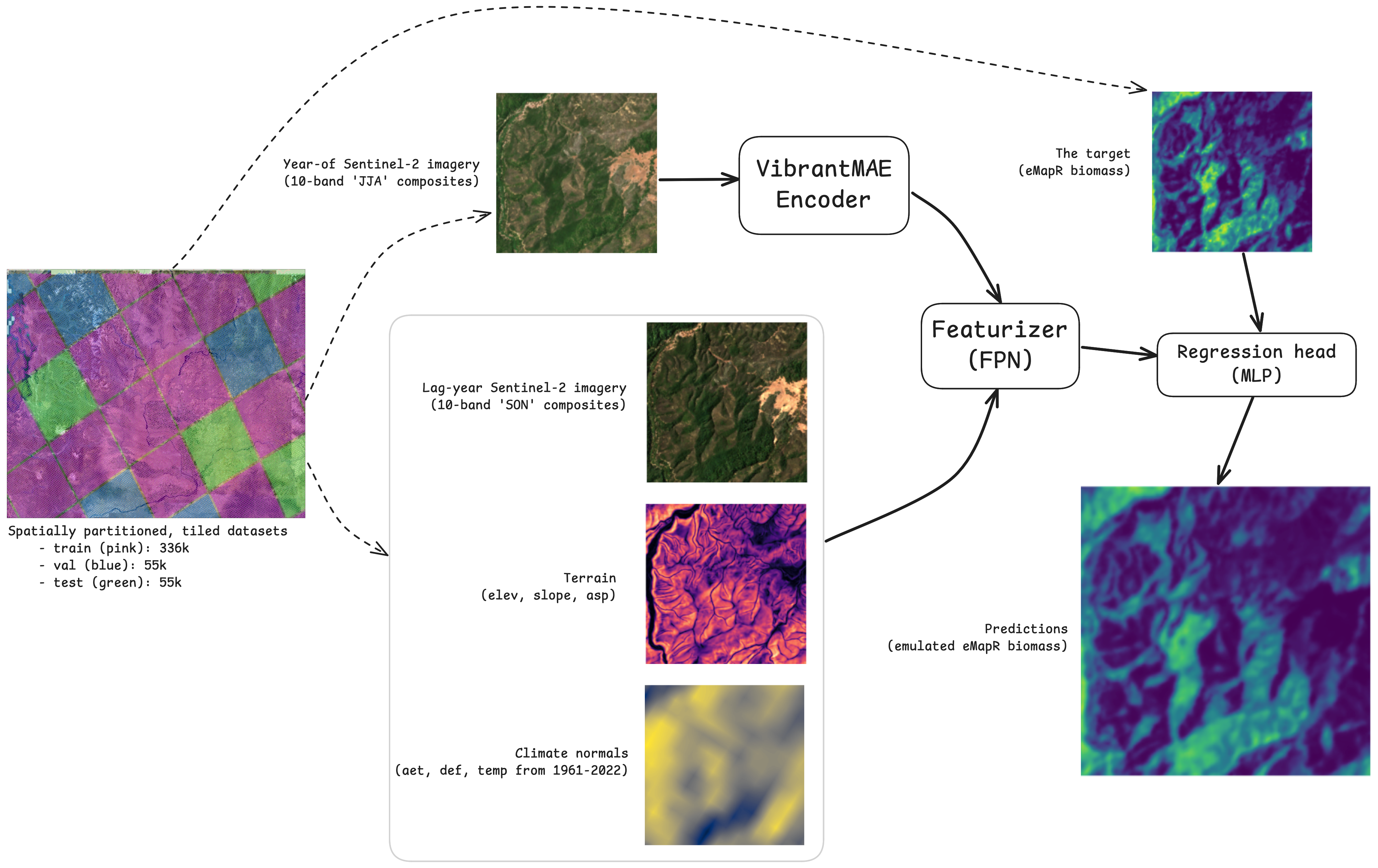
Biomass Model Diagram

VP / Biomass

Developing a state-of-the-art live aboveground biomass model at 10m resolution. This model leverages a custom Feature Pyramid Network, powered by features extracted Vibrant Planet's foundation model (a Masked AutoEncoder). Input data includes Sentinel-2 imagery, terrain features, and climate variables, enabling accurate and high-resolution biomass and carbon estimates.
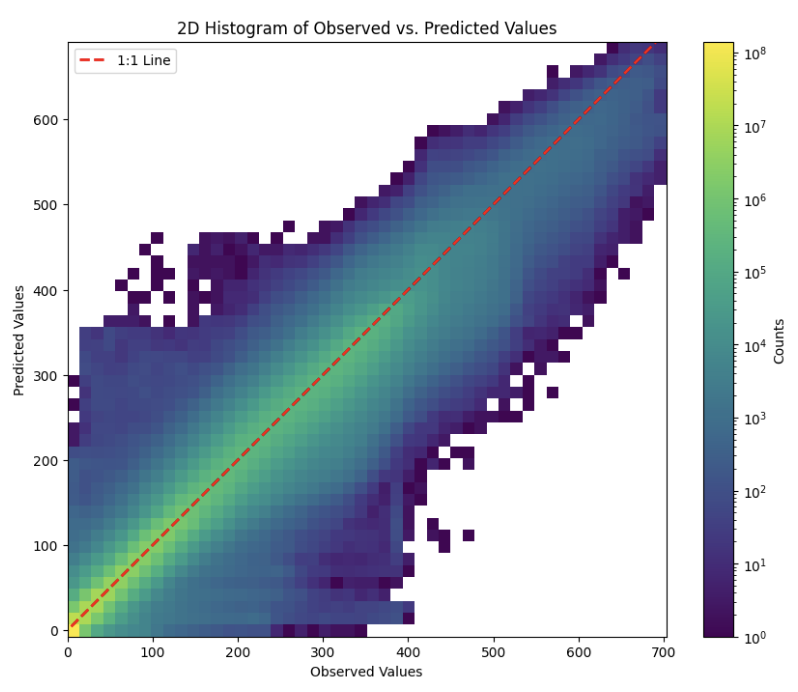
Additional Biomass Model Details

VP / Forest structural metrics

Using a host of ML approaches (Bayesian hierarchical allometric models and computer vision) to assign critical structural attributes to individual trees, including size/volume and status (alive or dead) across the western US.

Iggy / Reports

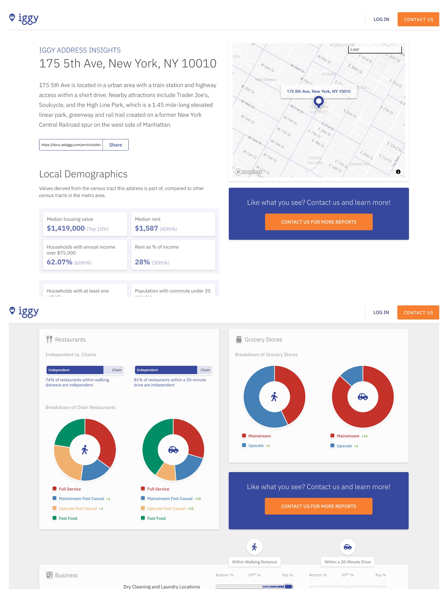
Insights about the demography and amenities (within walking or driving distance) at any address in the US.

Iggy / Data Diligence

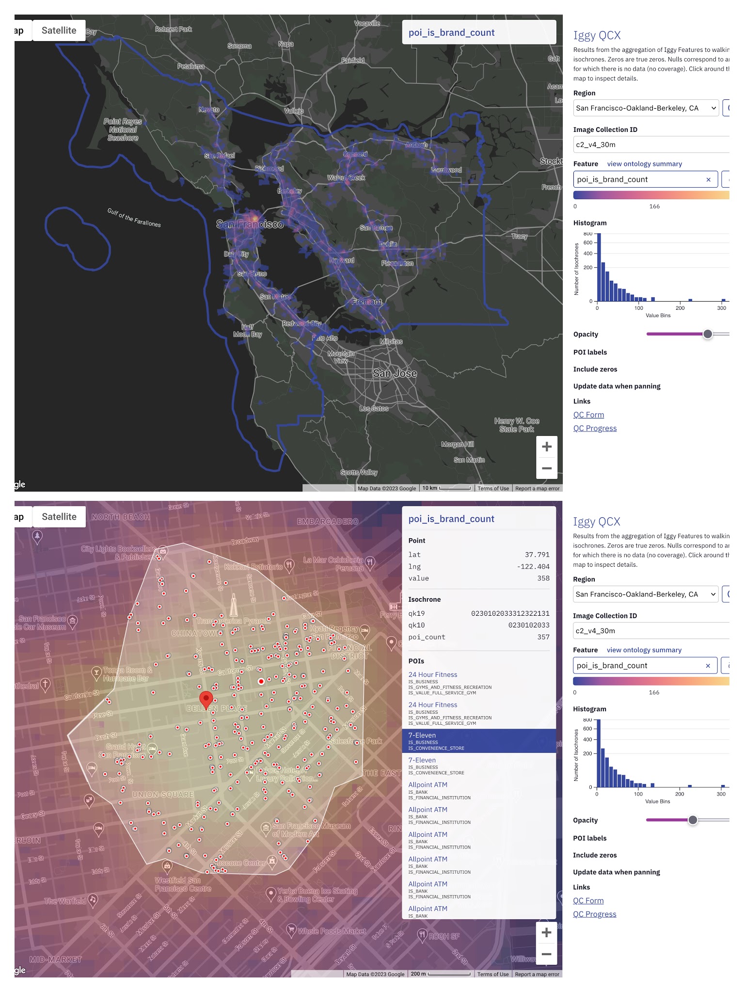
A data diligence process, including an interactive mapping application and form to systematically and iteratively validate and improve Iggy's features. The process included a number of aggregate checks (statistical measures, and spatial distributions or spatial consistency of individual features) and spot checks (on individual data points, including ID, location, value).

The Disappearing West

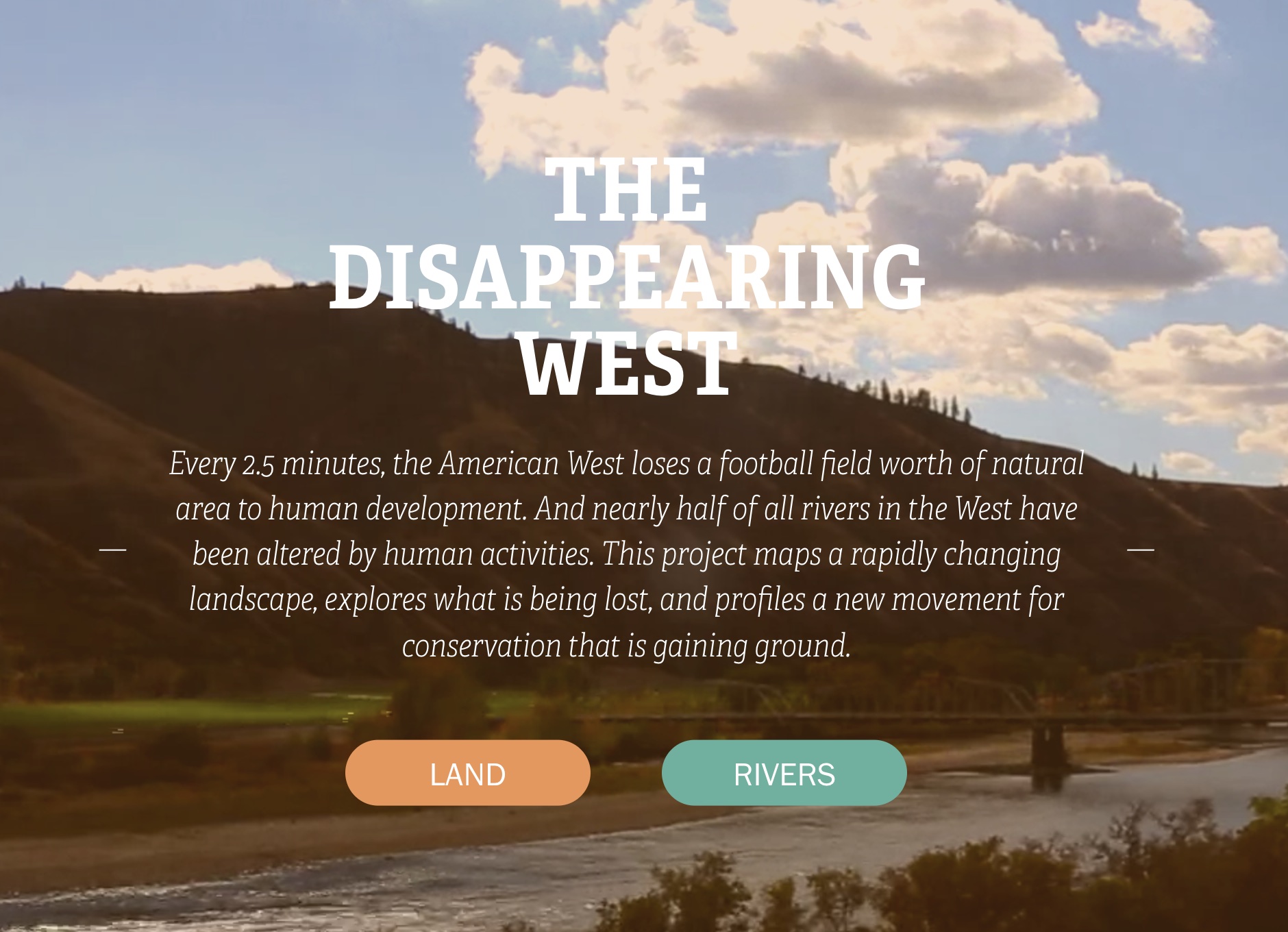
The first comprehensive analysis of human impacts on lands in the American West

Learn more

Mind the gap

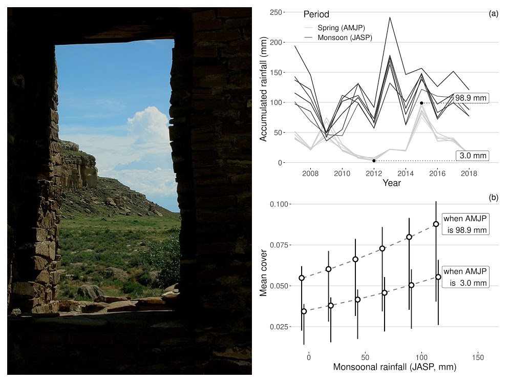
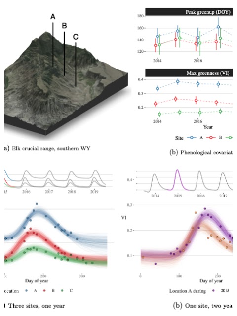
Bayesian hierarchical models for complex monitoring data

Learn more

Project fluvius

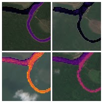
Artificial intelligence to predict Amazonian river health

Find the code here

NASA Advanced Information Systems Technology

Tools for integrating multi-scale earth observation data streams

Learn more